Due to the increasing demand for urban planning activities and technical services in Turkey, the Department of Surveying and Cadastre Engineering was established at our university by the Ministry of National Education's decision on June 7, 1949. Founded by Prof. Dr. Macit ERBUDAK, Prof. Dr. Ekrem ULSOY, and Prof. Dr. Burhan TANSUĞ, our department started education in 1949 as the first department to train engineers in this field in Turkey.
Istanbul Technical School transformed into "Istanbul State Academy of Engineering and Architecture (İSAEA)" on June 3, 1969, with the enactment of Law No. 1184 on State Engineering and Architecture Academies. From that date until 1982, the Department of Surveying and Cadastre Engineering operated within the Istanbul State Academy of Engineering and Architecture. The curriculum of the department remained essentially unchanged from its establishment until 1973. However, changes were made in 1973 and 1976, introducing a credit system to the undergraduate curriculum.
In 1982, with the Law on Higher Education and the establishment of Yıldız University, the department changed to "Geodesy and Photogrammetry Engineering" per the Higher Education Law of 1982. The department continued its activities within Yıldız University's Faculty of Engineering. Additionally, after gaining university status in 1982, there were adjustments to the curriculum, with an increased emphasis on professional courses alongside the mandatory Turkish, Atatürk's Principles and History of Revolution courses.
On July 3, 1992, with Law No. 3837, Yıldız University adopted the name "Yıldız Technical University," and the Department of Geodesy and Photogrammetry Engineering became affiliated with the newly established Faculty of Civil Engineering. In 1997, significant changes were made to the curriculum, focusing on international accreditations, and the total credits for courses were reduced from 180 to 150. A mandatory foreign language preparatory course was introduced for all students. The university, faculty, and department also introduced mandatory and elective courses. Social elective courses were included, and each student was required to take and pass at least eight credits of English courses. In 2003, there was another update to the curriculum, with some adjustments made to elective courses. Design-oriented elective courses were added to the curriculum, and the number of elective course groups was increased.
As of the Fall Semester of the 2008-2009 Academic Year, the department, which continued its academic activities at our university's Davutpaşa Campus, had its name changed to "Surveying Engineering" in 2009 (In some universities, the term Geomatic Engineering is also used, as per the relevant decision by the Higher Education Council - YÖK). The Surveying Engineering Department transitioned to the Bologna system in 2013, leading to the curriculum renewal. In the 2015-2016 academic year, 30% of the education was conducted in English, and mandatory preparatory education was introduced. Admissions to the evening program were halted in the 2013-2014 academic year. In 2018, an update to the Bologna system led to the revision of the curriculum.
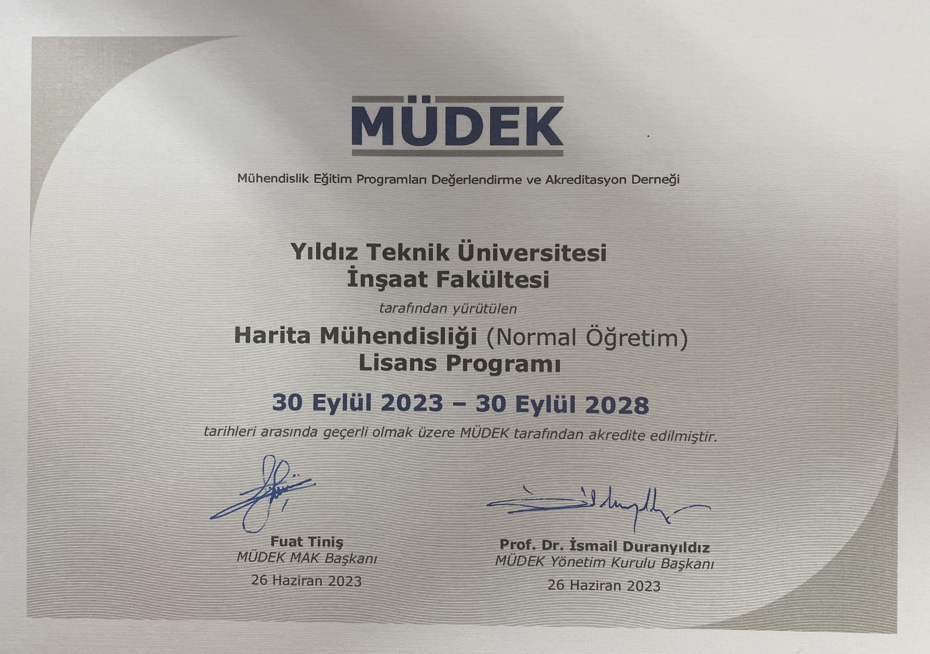
MÜDEK and EURO-ACE accredit our department's undergraduate program. The department offers three graduate programs at the master's and doctoral levels, including Geomatics, Remote Sensing and Geographic Information Systems, and Real Estate Appraisal and Development. These programs contribute to the country's economy by training students at advanced levels. In the Department of Surveying Engineering, as part of the ERASMUS student exchange program, students are sent abroad, and students from foreign countries are accepted. Additionally, within the scope of the FARABİ and MEVLANA student exchange programs, the department accepts students from other universities within the country.
Fields of Work for Our Graduates
Our graduates work in various fields, contributing to professional activities such as:
Establishment of horizontal and vertical control networks for surveying. Deformation measurements and evaluation for monitoring surface movements and engineering structures. Application of deformation measurements in projects such as highways, railways, bridges, dams, metro, tunnels, and their field implementation. Positioning and vehicle tracking systems using satellite data. Navigation, laser scanning, data collection, and processing using satellite imagery and aerial photographs. Producing plans to support restoration activities based on ground photographs. Production of large, medium, and small-scale digital and printed topographic and thematic maps that serve as a basis for various projects. Multimedia, visualization, and internet-based presentations related to spatial data and maps. Map design for mobile devices and the web. Creation of spatial databases and geographic information systems for various topics. Urban and rural area planning, related legal studies, and implementation of zoning applications. Cadastre studies, Land Administration, Public Improvement, and Real Estate Appraisal. They work in public and private institutions and are involved in official and private activities related to urban transformation.
Employment Institutions of Our Graduates
General Directorate of Land Registry and Cadastre, Municipalities, Provincial Bank, General Directorate of Geographic Information Systems, General Directorate of Highways, General Directorate of State Hydraulic Works, Disaster and Emergency Management Presidency, Ministry of Environment and Urbanization, General Directorate of National Real Estate, Mass Housing Administration, Provincial Special Administrations, Ministry of Culture and Tourism, Ministry of Energy and Natural Resources, General Directorate of Land and Agrarian Reform, Ministry of Forestry and Water Affairs, State Airports Authority, Turkish State Railways (TCDD), BOTAŞ (Petroleum Pipeline Corporation), TPAO (Turkish Petroleum Corporation), TEAŞ (Turkish Electricity Transmission Corporation), MTA (Mineral Research and Exploration General Directorate), Southeastern Anatolia Project Administration (GAP), Turkish Coal Enterprises (TKİ), General Directorate of Nature Conservation and National Parks, Ministry of National Defense, Mapping General Command, Naval Forces Command Navigation, Hydrography and Oceanography Department, Construction Companies, Surveying Engineering Offices and Companies, Map Production Companies, Geographic Information Technology Companies, Information Technology, Software and Telecommunications Companies, Measurement Technology Companies, Airlines, Mining Companies, Natural Gas Distribution Companies, Property Valuation Companies, Real Estate Investment Trusts, Banks, Universities, etc.